Equator (Climate)
Credit: Jay · CC BY 2.0
The equator is an imaginary line that runs around the middle of the Earth. It divides the planet into two halves, called the Northern Hemisphere and the Southern Hemisphere. Every point on the equator is the same distance from the North Pole as it is from the South Pole. The equator is about 24,901 miles long, which is the full distance around the Earth at its widest point.
Places along the equator share a special kind of climate. The weather there is hot and wet almost all year long. Daily temperatures usually stay between 75 and 90 degrees Fahrenheit. Unlike most of the world, equatorial places do not really have a winter, a spring, a summer, or a fall. Instead, they often have just two seasons: a wet one and a dry one.
Why is the equator so warm? It comes down to the angle of the Sun. The Sun's rays hit the equator straight on, almost from directly overhead. Near the poles, the same rays hit at a slant and spread out over a much wider area. Direct sunlight delivers more heat to the same patch of ground, so the equator stays hot.
The equator also has very steady daylight. Every place on the equator gets about 12 hours of day and 12 hours of night, every day of the year. Sunrise and sunset times barely change between January and July. Far from the equator, daylight stretches and shrinks with the seasons, but on the equator the day length stays almost the same.
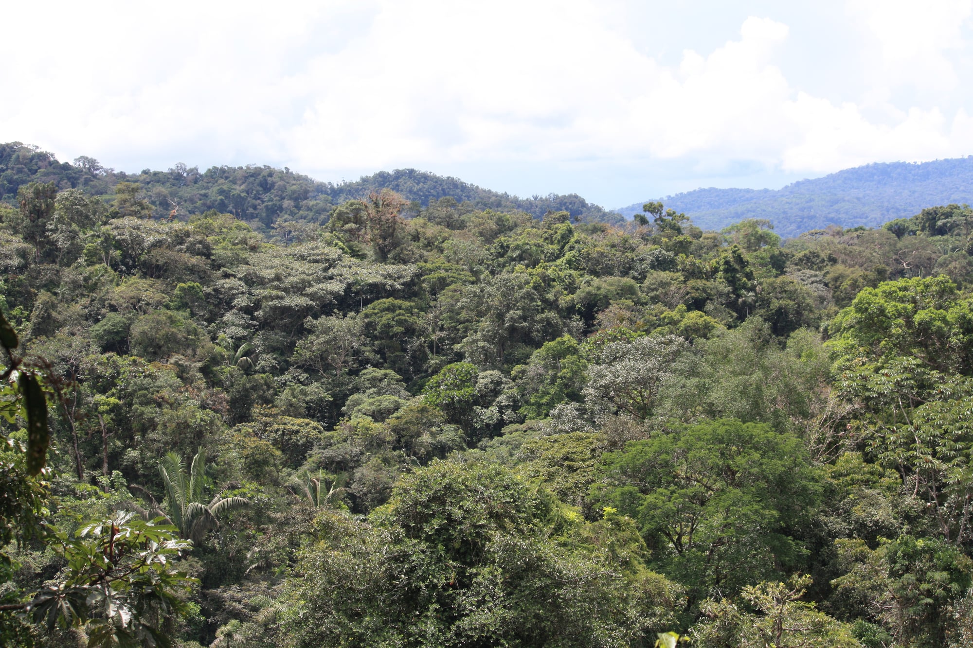
All that warm sunshine creates a lot of rain. The Sun heats the ground, which heats the air. The warm air rises, cools high in the sky, and drops its water as heavy showers. This is why the world's biggest rainforests, like the Amazon and the Congo, sit near the equator. These rainforests are home to more kinds of plants and animals than anywhere else on Earth.
The equator passes through 13 countries, including Ecuador, Brazil, Colombia, Kenya, Indonesia, and the small island nation of São Tomé and Príncipe. The country of Ecuador is even named after it. In the city of Quito, you can stand on a painted line and have one foot in each hemisphere. Some equator monuments are off by a few hundred feet, because the line was first measured before GPS could check the exact spot.
Related
Last updated 2026-04-25